Eleven Tuscaloosa areas from downtown to Lake Tuscaloosa, each with its ZIP code, zoned high school and Zillow typical home value for September 2026.
Last checked Oct. 17, 2026. Sources: the City of Tuscaloosa’s planning documents (the Greater Downtown Plan and specific plans), historic districts map and city limits map; Tuscaloosa City Schools’ 2026-27 school zone map; the Alabama State Department of Education’s state report card; Zillow Research; the Census Bureau’s QuickFacts; and OpenStreetMap.
Tuscaloosa is a city of about 111,000 people, according to the Census Bureau’s 2020-2024 American Community Survey, laid out around the University of Alabama. The Black Warrior River splits it: downtown, the campus and most neighborhoods are on the south bank, and the north side along Rice Mine Road and Lake Tuscaloosa is across the bridges, beside the separate city of Northport. Interstate 20/59 crosses the south side, McFarland Boulevard (U.S. 82) loops around the east, and Skyland Boulevard (U.S. 11) runs east-west near the interstate.
Who to call
- City planning and historic districts: 205-248-5100, 2201 University Blvd.
- Which school is mine? Tuscaloosa City Schools, 205-759-3700, and its zone lookup
- Inside city limits? The city’s limits map, or Tuscaloosa 311
Three things to know before you choose an area:
- City limits are uneven. Pockets of unincorporated Tuscaloosa County sit inside and around the city, especially on the southeast side and around Lake Tuscaloosa. Inside city limits, the city provides police, fire and trash service and the city school district serves you.
- The city school district now matches city limits. Since a local amendment in November 2024, Tuscaloosa City Schools’ boundaries follow the city limits, the district’s 2026-27 zone map says. Homes outside the city, and all of Northport, are served by Tuscaloosa County Schools. Inside the city, zones still split several neighborhoods.
- ZIP codes are broad. The city’s main ZIP codes are 35401, 35404, 35405 and 35406, with 35487 for the campus. Each covers several of the areas below, so a ZIP code home value is a guide, not a neighborhood price.
Tuscaloosa areas at a glance
Home values are the Zillow Home Value Index for the area’s main ZIP code in September 2026: a modeled typical value for the middle third of homes, not a sale price. School scores are 2025 overall scores on the state report card.
| Area | Main ZIP | Zoned high school (2025 score) | ZIP home value | Guide |
|---|---|---|---|---|
| Downtown | 35401 | Northridge (84) | $192,117 | Downtown |
| University area | 35401 | Central (69), east edge Northridge | $192,117 | University area |
| Forest Lake | 35401 | Central (69) | $192,117 | Forest Lake |
| Glendale Gardens | 35401 | Central (69) | $192,117 | Glendale Gardens |
| West Tuscaloosa | 35401 | Central (69), north edge Northridge | $192,117 | West Tuscaloosa |
| Alberta | 35404 | Northridge (84), southeast Bryant | $183,700 | Alberta |
| East Tuscaloosa | 35404, 35405 | Bryant (74) | $183,700 to $248,612 | East Tuscaloosa |
| Skyland | 35405 | Bryant (74), northwest Central | $248,612 | Skyland |
| Woodland Forrest | 35405 | Bryant (74) | $248,612 | Woodland Forrest |
| Northridge and Rice Mine Road | 35406 | Northridge (84) | $483,661 | North Tuscaloosa |
| Lake Tuscaloosa | 35406, 35475 | Northridge (84) | $339,539 to $483,661 | Lake Tuscaloosa |
The citywide figure was $243,681, up 0.8% in a year. More in our home prices guide and schools guide.
The areas
Downtown. The Greater Downtown Plan’s 87 blocks between the river, Queen City Avenue, 15th Street and Martin Luther King Jr. Boulevard: City Hall, the courthouse, the main library, Capitol Park and the Riverwalk, with lofts, apartments and older houses. Zoned for Verner Elementary and the Northridge schools.
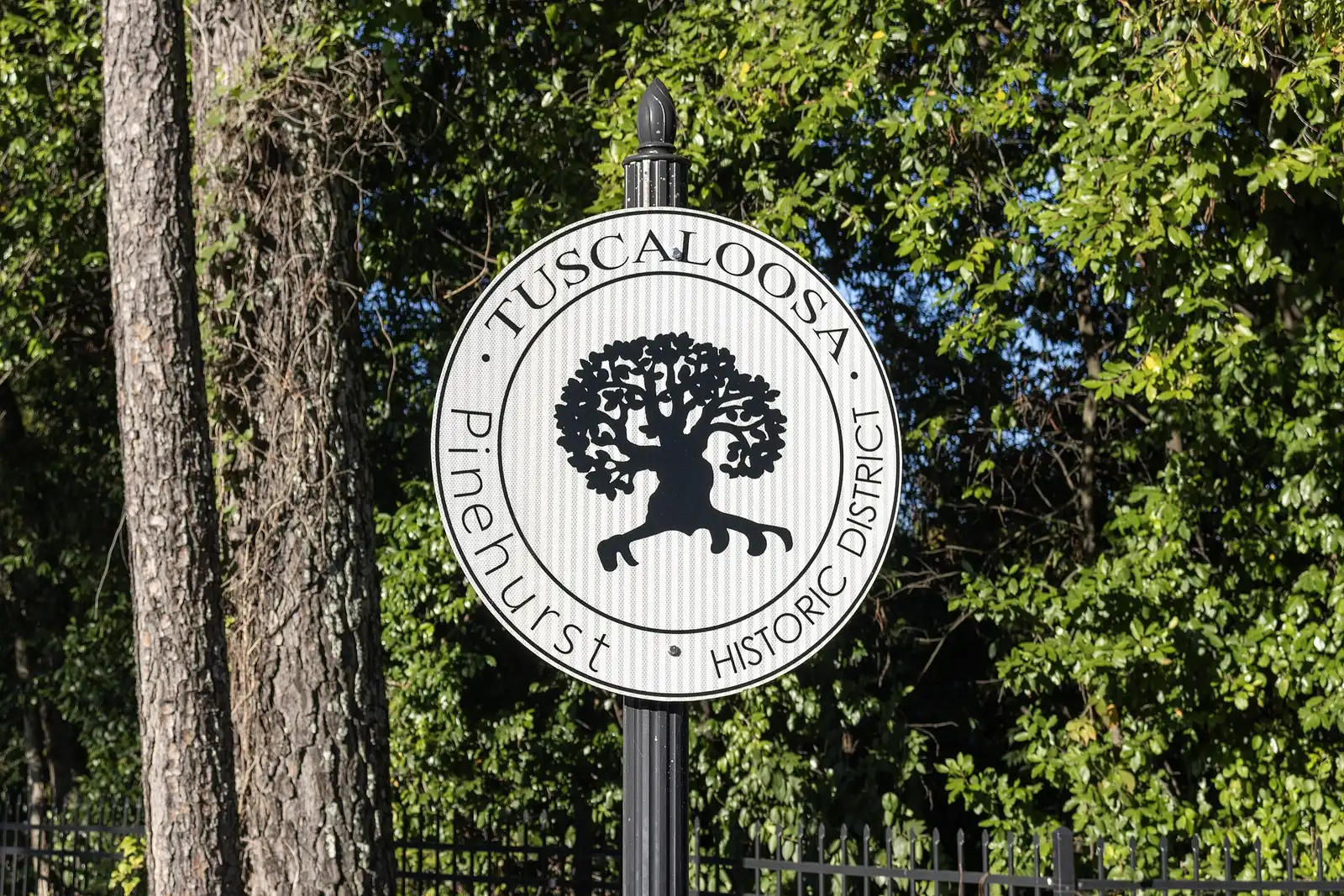
University area. The streets around the University of Alabama between Queen City Avenue and McFarland Boulevard, north of 15th Street, with about a dozen local historic districts, among them Pinehurst, Caplewood and Audubon Place. Most of it is zoned for University Place Elementary, Westlawn Middle and Central High.
Forest Lake. A half-square-mile neighborhood of subdivisions built up through the 1960s, boxed in by 15th Street, Hackberry Lane, Hargrove Road and McFarland Boulevard. Zoned for Central High.
Glendale Gardens. Three side-by-side local historic districts, Glendale Gardens, Hillcrest and The Downs, south of 15th Street off 10th Avenue and Hargrove Road. Zoned for Central High.
West Tuscaloosa. The older west side from the river south toward I-20/59, labeled the West End in OpenStreetMap, with Stillman College and Shelton State’s C.A. Fredd campus. Five elementary zones; most of it is zoned for Westlawn Middle and Central High.
Alberta. The east-side community along University Boulevard East between McFarland Boulevard and Crescent Ridge Road, which grew around the railroads. Mostly zoned for The Alberta School of Performing Arts and the Northridge schools.
East Tuscaloosa. Cherokee Hills, Beech Hills, Woodland Hills and other established subdivisions east of McFarland Boulevard, with University Mall and Bowers Park. Zoned for Eastwood Middle and Paul W. Bryant High.
Skyland. The neighborhoods and apartment complexes around Skyland Boulevard and the I-20/59 interchanges, including the large Skyland Park neighborhood. Mostly zoned for Paul W. Bryant High.
Woodland Forrest. The newer southeast side south of Skyland Boulevard East, around Woodland Forrest Elementary and Paul W. Bryant High, where only about half the land is inside city limits.
Northridge and Rice Mine Road. The north side across the river, with Indian Hills, Heritage Hills and other subdivisions around the Northridge schools. ZIP 35406 has the city’s highest typical home value in Zillow’s file.
Lake Tuscaloosa. The narrow band of city land around the city’s 5,885-acre drinking water reservoir, where docks and shoreline work need a city lakes permit. Zoned for Rock Quarry Elementary and the Northridge schools.
Comparing Tuscaloosa and Northport
Northport, about four miles north across the river, is a separate city with its own police, fire, trash service and a lower property tax rate, and its homes are served by Tuscaloosa County Schools. Our Tuscaloosa vs Northport guide sets the official figures side by side. See also our property taxes guide and moving to Tuscaloosa guide.
How we built this
The areas come from the city’s own planning documents: the Greater Downtown Plan, the specific plans for the University Area Neighborhoods, Forest Lake, Greater Alberta and West Tuscaloosa, the 2009 council district plans for Districts 3, 6 and 7, which name the neighborhoods in each part of the city, and the city’s historic districts map. Where a plan gives no exact line, we drew the outline on OpenStreetMap road and river lines and say so on the area’s page. We did not name any subdivision the city’s plans do not name.
School zones and city limits come from points spaced about 500 feet apart across each area, checked against Tuscaloosa City Schools’ 2026-27 zone layer and the city’s limits layer on Oct. 17, 2026. Road distances use the OSRM routing engine on the OpenStreetMap network. Map data and store locations are © OpenStreetMap contributors.
Frequently asked questions
What are the main neighborhoods in Tuscaloosa?
Using the city’s own plans, this guide covers downtown, the university area, Forest Lake, Glendale Gardens, West Tuscaloosa, Alberta, east Tuscaloosa, Skyland, Woodland Forrest, north Tuscaloosa along Northridge and Rice Mine roads, and Lake Tuscaloosa.
Which Tuscaloosa ZIP code has the highest home values?
35406, north of the Black Warrior River, where the Zillow Home Value Index was $483,661 in September 2026. The citywide figure was $243,681, and 35404 was lowest at $183,700.
Do Tuscaloosa City Schools boundaries follow city limits?
They have since a local amendment in November 2024, according to the district’s 2026-27 zone map. Inside the city, school zones still cut across neighborhoods, so check each address in the zone map.
What high schools serve Tuscaloosa neighborhoods?
Tuscaloosa City Schools has three: Northridge High (84 on the 2025 state report card), Paul W. Bryant High (74) and Central High (69). Northridge serves the north side, downtown and Alberta; Bryant the south and east; Central the west and center.
Have your say