The university area, from Queen City Avenue to McFarland Boulevard north of 15th Street, holds about a dozen local historic districts. ZIP 35401.
Last checked Oct. 17, 2026. Sources: the City of Tuscaloosa’s University Area Neighborhoods specific plan, its historic districts map and parks layer; Tuscaloosa City Schools’ 2026-27 school zone map; the Alabama State Department of Education’s state report card; Zillow Research; the Tuscaloosa Transit Authority’s route pages; and OpenStreetMap.
The university area is the ring of older streets around the University of Alabama campus, between downtown and McFarland Boulevard. It has the largest cluster of local historic districts in the city, many older houses now rented to students, apartment buildings close to campus and the shops along University Boulevard.
What this means for you
- Zoned high school: Central High School for most of the area (2025 state report card: 69, a D), with Northridge High (84, a B) as the second choice on the district’s map.
- Home value: $192,117 in ZIP 35401 in September 2026, according to the Zillow Home Value Index.
- Nearest interstate exit: I-359 Exit 1 (35th Street), about 2.7 miles by road, or I-20/59 Exit 73 (U.S. 82), about 3.5 miles.
- Who to call: City of Tuscaloosa Planning, 205-248-5100; Tuscaloosa City Schools, 205-759-3700.
Part of our Tuscaloosa neighborhoods guide.
Where it is
The city’s University Area Neighborhoods specific plan draws the planning area between the Black Warrior River on the north, McFarland Boulevard on the east, 15th Street on the south and Queen City Avenue on the west. The plan leaves the campus itself out of its recommendations and focuses on the neighborhoods around it. It says the area’s historic houses, once mostly owner-occupied, are now mostly owned by landlords and rented.
University Boulevard, Hackberry Lane, 10th Avenue and Jack Warner Parkway are the main roads. Most of the area is in ZIP code 35401; the eastern part toward McFarland is in 35404, and the campus has its own ZIP, 35487. All of it is inside city limits.
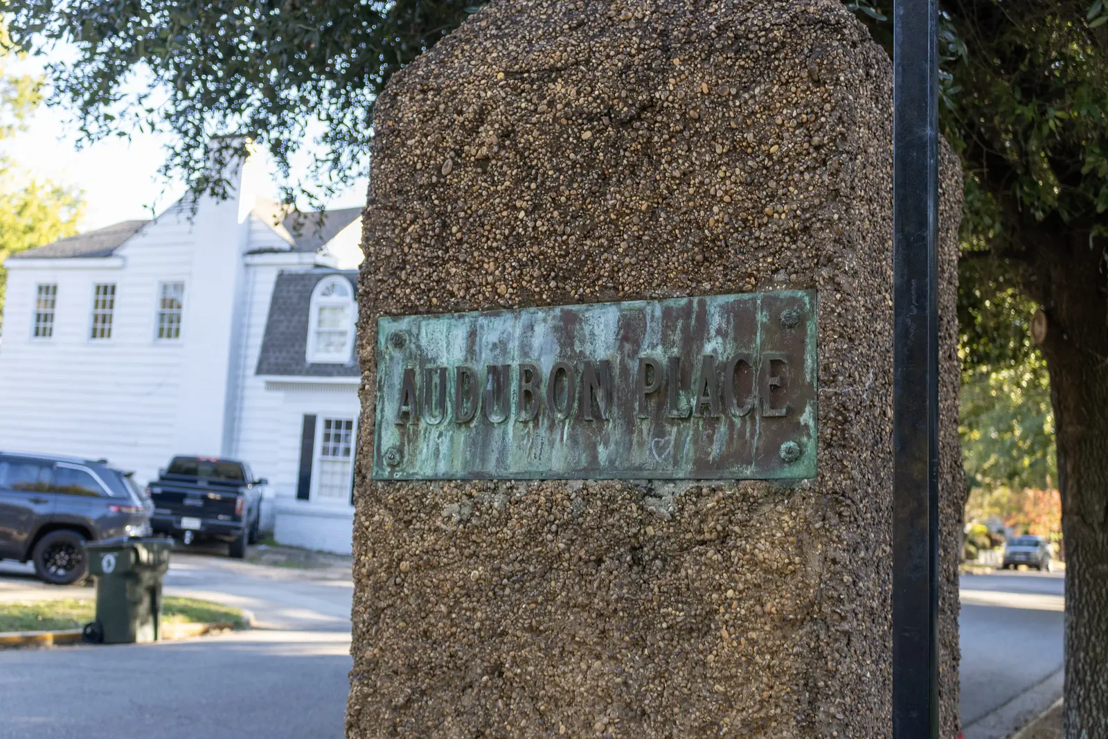
The city’s historic districts map shows these local districts inside or touching the area: Pinehurst, Caplewood, Guilds Wood, Sherwood Drive, College Park, Audubon Place, Seventh Street, Eighth Street, Myrtlewood, Thirteenth Street, Oakwood Court, Dearing Place, University Circle and the Druid City district along Queen City Avenue. Exterior changes in them need a certificate from the Historic Preservation Commission, 205-248-5100.
Schools
Tuscaloosa City Schools’ boundaries follow city limits, and its 2026-27 zone map splits the area. Shares are of the points we checked, spaced about 500 feet apart:
| Level | School | Share of area | 2025 score |
|---|---|---|---|
| Elementary | University Place Elementary, 2000 First Ave. | about 92% | 88 (B) |
| Elementary | The Alberta School of Performing Arts (K-8), 2700 University Blvd. East | about 6%, east edge | 86 (B) |
| Middle | Westlawn Middle, 1715 Martin Luther King Jr. Blvd. | about 91% | 74 (C) |
| Middle | Northridge Middle, 3811 Northridge Road | about 9% | 87 (B) |
| High | Central High, 905 15th St. | about 91% | 69 (D) |
| High | Northridge High, 2901 Northridge Road | about 9% | 84 (B) |
For the main zone, the district’s map lists a second choice: Rock Quarry Elementary (99, an A), Northridge Middle and Northridge High. Scores are 2025 overall scores, for the 2024-25 school year, on the state report card. Look up the exact address before you sign a lease or buy. More in our schools guide.
Home values
The typical home value in ZIP 35401 was $192,117 in September 2026, down 1.1% from $194,266 a year earlier, according to the Zillow Home Value Index. In 35404 it was $183,700, down 0.6%. The index is a modeled typical value for the middle third of homes, not a sale price, and both ZIP codes reach well beyond this area. The citywide figure was $243,681, up 0.8%. More in our home prices guide.
Parks and trails
From the city’s parks layer and park pages:
- Annette Shelby Park, with a splash pad, fountain, playground and walking track, near Queen City Avenue.
- The Riverwalk and River Road Park, along the Black Warrior River on the area’s north edge.
- Riverview Boat Landing, a city boat ramp on the river near McFarland Boulevard.
- Monnish Park, with a trail and shelters, at the 15th Street edge.
More in our parks and trails guide.
Getting around
- Interstate: I-359 Exit 1 (35th Street), about 2.7 miles by road; I-20/59 Exit 73 (U.S. 82), about 3.5 miles.
- Downtown: about 1.9 miles by road to City Hall, 2201 University Blvd.
- Airports: Tuscaloosa National Airport about 6.3 miles, Birmingham-Shuttlesworth International about 62 miles. Distances are on the OpenStreetMap road network, measured with the OSRM routing engine, not drive times.
- Buses: TTA’s University Shuttle runs along University Boulevard past Denny Chimes, DCH and Bryce Hospital on school days; the Alberta/Five Points route stops along Jack Warner Parkway; and the V.A. route stops on 15th Street, according to TTA’s route pages. The university runs its own Crimson Ride buses on campus.
More in our getting around guide.
Groceries and everyday stores
From OpenStreetMap:
- Publix, 1190 University Blvd.
- CVS Pharmacy, 1218 University Blvd.
- Walgreens, on University Boulevard East near McFarland Boulevard.
- The Fresh Market, on McFarland Boulevard East.
- ALDI, 1349 McFarland Blvd. East, just south of the area.
How we drew this area
The boundary is the specific plan’s planning area. School shares come from points spaced about 500 feet apart, checked against the district’s 2026-27 zone layer on Oct. 17, 2026. Store and place locations are © OpenStreetMap contributors.
Frequently asked questions
What are the boundaries of the University area neighborhoods in Tuscaloosa?
The city’s University Area Neighborhoods specific plan draws the area between the Black Warrior River on the north, McFarland Boulevard on the east, 15th Street on the south and Queen City Avenue on the west, around the University of Alabama campus.
What schools serve homes near the University of Alabama?
About nine in 10 points in the area are zoned for University Place Elementary, Westlawn Middle and Central High on Tuscaloosa City Schools’ 2026-27 map, which lists Rock Quarry Elementary, Northridge Middle and Northridge High as a second choice. The eastern edge is zoned for Northridge.
What is the typical home value near the University of Alabama?
Most of the area is in ZIP code 35401, where the Zillow Home Value Index was $192,117 in September 2026. The eastern part is in 35404, at $183,700.
Are there historic districts near the University of Alabama?
The city’s historic districts map shows Pinehurst, Caplewood, Guilds Wood, Sherwood Drive, College Park, Audubon Place, Myrtlewood, Dearing Place, the Seventh, Eighth and Thirteenth Street districts and others in the area, where exterior changes go to the Historic Preservation Commission.
Have your say