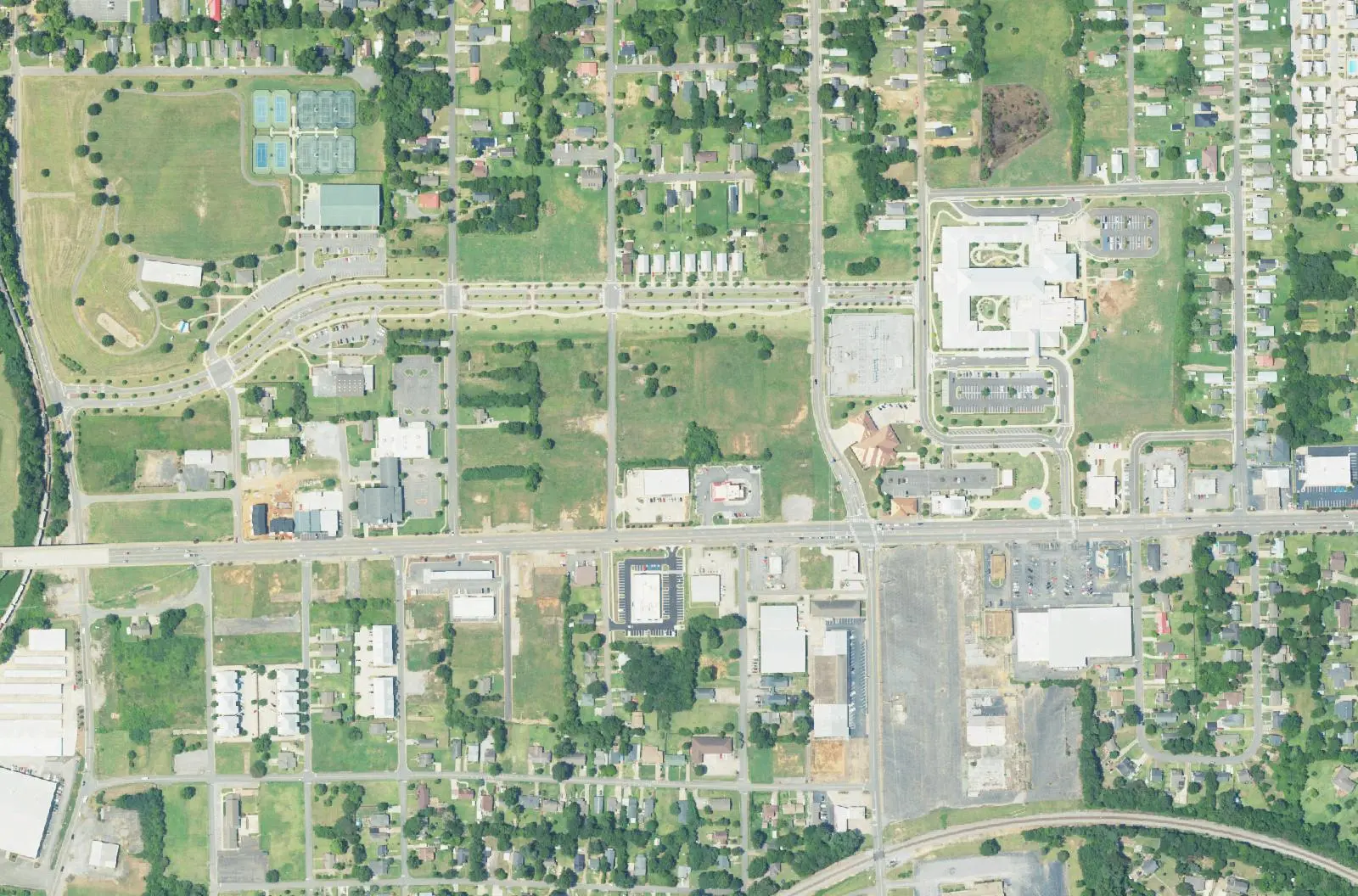
Alberta, east of McFarland Boulevard along University Boulevard East, is in ZIP 35404 and mostly zoned for The Alberta School and Northridge High.
Last checked Oct. 17, 2026. Sources: the City of Tuscaloosa’s Greater Alberta Community specific plan, its historic districts map and parks layer; Tuscaloosa City Schools’ 2026-27 school zone map; the Alabama State Department of Education’s state report card; Zillow Research; the Tuscaloosa Transit Authority’s route pages; and OpenStreetMap.
Alberta is the east-side community along University Boulevard East, between McFarland Boulevard and Crescent Ridge Road. The city’s plan says it grew in the early decades of the 20th century around the railroads and local industries, as an outpost east of the city, and it now mixes older single-family streets, apartments, schools, churches and the stores along University Boulevard East.
What this means for you
- Zoned high school: Northridge High School for most of the area (2025 state report card: 84, a B); the southeast corner is zoned for Paul W. Bryant High (74, a C).
- Home value: $183,700 in ZIP 35404 in September 2026, according to the Zillow Home Value Index.
- Nearest interstate exit: I-20/59 Exit 73 (U.S. 82, McFarland Boulevard), about 3.4 miles by road.
- Who to call: City of Tuscaloosa Planning, 205-248-5100; Tuscaloosa City Schools, 205-759-3700.
Part of our Tuscaloosa neighborhoods guide.
Where it is
The city’s Greater Alberta Community specific plan bounds the study area generally by the northern edge of homes and the railroad right-of-way on the north, Crescent Ridge Road on the east, the Hillsdale neighborhood on the southeast, Veterans Memorial Parkway on the south and McFarland Boulevard on the west. University Boulevard East is the main road through it. The plan notes a large share of public and institutional land, especially schools, hospitals, churches and parks, and few remaining industrial sites.
By our count the area inside city limits is about 2.4 square miles, all in ZIP code 35404. The city provides police, fire and trash service. The Buena Vista local historic district sits at the area’s western end, on the city’s historic districts map.
Schools
Tuscaloosa City Schools’ boundaries follow city limits, and its 2026-27 zone map splits Alberta in two. Shares are of the points we checked, spaced about 500 feet apart:
| Level | School | Share of area | 2025 score |
|---|---|---|---|
| K-8 | The Alberta School of Performing Arts, 2700 University Blvd. East | about 90% | 86 (B) |
| Middle | Northridge Middle, 3811 Northridge Road | about 90% | 87 (B) |
| High | Northridge High, 2901 Northridge Road | about 90% | 84 (B) |
| Elementary | Arcadia Elementary, 3740 Arcadia Drive | about 10%, southeast | 85 (B) |
| Middle | Eastwood Middle | about 10% | 67 (D) |
| High | Paul W. Bryant High, 6315 Mary Harmon Bryant Drive | about 10% | 74 (C) |
In part of the main zone, about a fifth of the area, the map lists Rock Quarry Elementary (99, an A) as a second choice. Scores are 2025 overall scores, for the 2024-25 school year, on the Alabama State Department of Education’s state report card. Check the exact address in the zone map. More in our schools guide.
Home values
The typical home value in ZIP 35404 was $183,700 in September 2026, down 0.6% from $184,779 in September 2025, according to the Zillow Home Value Index. The index is a modeled typical value for the middle third of homes, not a sale price, and 35404 also takes in the eastern university area and neighborhoods south of Veterans Memorial Parkway. The citywide figure was $243,681, up 0.8%. More in our home prices guide.
Parks and trails
From the city’s parks layer and park pages:
- Alberta Park, green space and a fountain.
- Jaycee Park, with a ball field, walking trail and pavilion.
- Tuscaloosa Tennis Center, next to Jaycee Park.
More in our parks and trails guide.
Getting around
- Interstate: I-20/59 Exit 73 (U.S. 82, McFarland Boulevard), about 3.4 miles by road, or Exit 76 (U.S. 11, East Tuscaloosa and Cottondale), about 4.8 miles.
- Downtown: about 3.6 miles by road to City Hall, 2201 University Blvd.
- Airports: Tuscaloosa National Airport about 9 miles, Birmingham-Shuttlesworth International about 58 miles. Distances are on the OpenStreetMap road network, measured with the OSRM routing engine, not drive times.
- Buses: the Tuscaloosa Transit Authority’s Alberta/Five Points route stops at the Alberta Piggly Wiggly and Dollar Tree, at Five Points, along Crescent Ridge Road and at Crescent East Apartments, weekdays 5 a.m. to 6 p.m.
More in our getting around guide.
Groceries and everyday stores
From OpenStreetMap:
- Piggly Wiggly, 2731 University Blvd. East.
- La Morenita, on University Boulevard East.
- La Bodeguita, on Veterans Memorial Parkway.
- University Mall and The Fresh Market, on McFarland Boulevard East at the west edge.
How we drew this area
The boundary follows the specific plan’s description, drawn on OpenStreetMap road and railroad lines. School shares come from points spaced about 500 feet apart, checked against the district’s 2026-27 zone layer on Oct. 17, 2026. Store and place locations are © OpenStreetMap contributors.
Frequently asked questions
Where is Alberta in Tuscaloosa?
The city’s Greater Alberta Community specific plan places it east of McFarland Boulevard, north of Veterans Memorial Parkway and west of Crescent Ridge Road, up to the railroad and the northern edge of homes. University Boulevard East runs through it.
What schools is Alberta in Tuscaloosa zoned for?
About nine in 10 points we checked are zoned for The Alberta School of Performing Arts (K-8), Northridge Middle and Northridge High on Tuscaloosa City Schools’ 2026-27 map. The southeast corner is zoned for Arcadia Elementary, Eastwood Middle and Paul W. Bryant High.
What is the typical home value in Alberta, Tuscaloosa?
Alberta is in ZIP code 35404, where the Zillow Home Value Index was $183,700 in September 2026, down 0.6% from a year earlier. That is a modeled typical value, not a sale price.
Is Alberta in Tuscaloosa a good place to live?
Here are the facts. Alberta is a residential area of about 2.4 square miles with schools, churches, parks and stores along University Boulevard East, served by TTA’s Alberta/Five Points bus route and zoned mostly for Northridge High, which scored 84 on the 2025 state report card.
Have your say