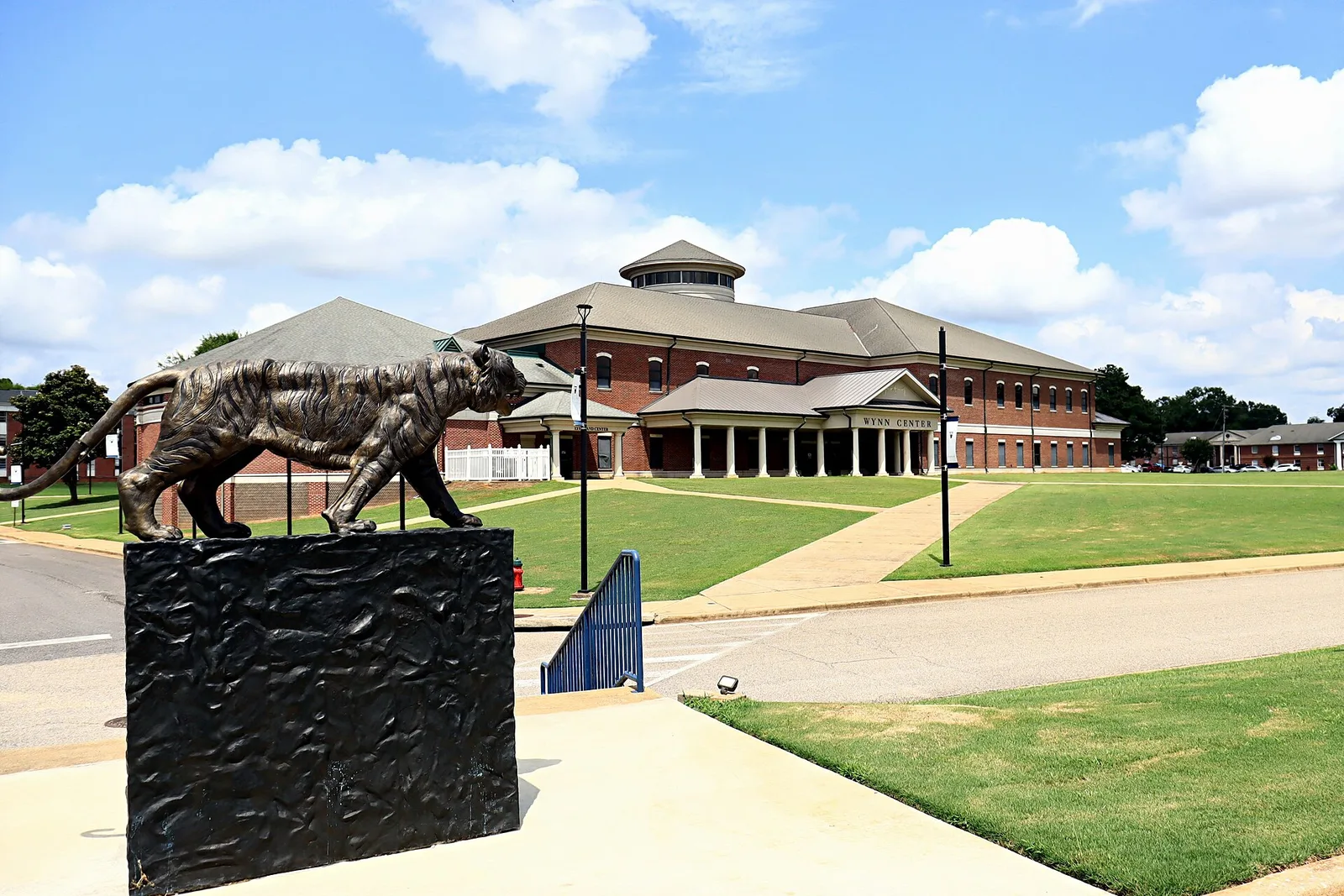
West Tuscaloosa, west of MLK Boulevard and 10th Avenue, holds Stillman College and the West End. ZIP 35401; most of it is zoned for Central High.
Last checked Oct. 17, 2026. Sources: the City of Tuscaloosa’s West Tuscaloosa Community specific plan, its historic districts map and parks layer; Tuscaloosa City Schools’ 2026-27 school zone map; the Alabama State Department of Education’s state report card; Zillow Research; the Tuscaloosa Transit Authority’s route pages; and OpenStreetMap, which labels the area the West End.
West Tuscaloosa is the older side of the city west of downtown, from the river south past 15th Street toward I-20/59. The city’s plan says it grew up around the railroads and local industries. Today it holds Stillman College, Shelton State Community College’s C.A. Fredd campus, single-family streets, apartment complexes and the shops along Martin Luther King Jr. Boulevard, Stillman Boulevard and Greensboro Avenue.
What this means for you
- Zoned high school: Central High School for most of the area (2025 state report card: 69, a D); the northern edge is zoned for Northridge High (84, a B).
- Home value: $192,117 in ZIP 35401 in September 2026, according to the Zillow Home Value Index.
- Nearest interstate exit: I-359 Exit 1 (35th Street), about 2.4 miles by road, or I-20/59 Exit 68 (Joe Mallisham Parkway), about 3.5 miles.
- Who to call: City of Tuscaloosa Planning, 205-248-5100; Tuscaloosa City Schools, 205-759-3700.
Part of our Tuscaloosa neighborhoods guide.
Where it is
The city’s West Tuscaloosa Community specific plan first bounded the study area by the Black Warrior River on the north, Martin Luther King Jr. Boulevard on the northeast and southeast and 10th Avenue in the center, Moody Swamp on the south and the ragged edges of development on the west. Partway through, the city extended it south to include all of Joe Mallisham Parkway and its interchange with I-20/59.
The plan calls for small-scale businesses along Martin Luther King Jr. Boulevard and for the country club area to become a mixed-use center. The Country Club Circle local historic district is inside the area, on the city’s historic districts map.
All of it is in ZIP code 35401. About 70% of the land we drew from the plan is inside city limits, where the city provides police, fire and trash service; the rest, mostly on the southwestern edge, is unincorporated Tuscaloosa County. Check the city limits map for a specific address.
Schools
Tuscaloosa City Schools’ boundaries follow city limits. On its 2026-27 zone map, the points we checked inside city limits, spaced about 500 feet apart, split this way:
| Level | School | Share of area | 2025 score |
|---|---|---|---|
| Elementary | Martin Luther King Jr. Elementary, 2430 Martin Luther King Jr. Blvd. | about 37% | 79 (C) |
| Elementary | Oakdale Elementary, 5001 25th St. | about 24% | 81 (B) |
| Elementary | Central Elementary, 1510 Dinah Washington Ave. | about 13% | 86 (B) |
| Elementary | University Place Elementary, 2000 First Ave. | about 13% | 88 (B) |
| Elementary | Verner Elementary, 2701 Northridge Road | about 11%, north edge | 97 (A) |
| Middle | Westlawn Middle, 1715 Martin Luther King Jr. Blvd. | about 88% | 74 (C) |
| Middle | Northridge Middle, 3811 Northridge Road | about 11% | 87 (B) |
| High | Central High, 905 15th St. | about 88% | 69 (D) |
| High | Northridge High, 2901 Northridge Road | about 11% | 84 (B) |
In the Verner zone along the north edge, the map lists Central Elementary, Westlawn Middle and Central High as a second choice. Scores are 2025 overall scores, for the 2024-25 school year, on the state report card. With five elementary zones, look up the exact address. More in our schools guide.
Home values
The typical home value in ZIP 35401 was $192,117 in September 2026, down 1.1% from $194,266 in September 2025, according to the Zillow Home Value Index. The index is a modeled typical value for the middle third of homes, not a sale price, and 35401 also includes downtown, Forest Lake and the university area. The citywide figure was $243,681, up 0.8%. More in our home prices guide.
Parks and trails
From the city’s parks layer and park pages:
- Kaulton Park, baseball, a playground, pavilion and walking trail.
- Burrell Odom Park, basketball, a playground, pavilion and walking trail.
- Palmore Park, 3701 Fosters Ferry Road, with a trail, disc golf and the Harrison Taylor Splash Pad.
- Freeman Park, with Freeman Pool, and McKinney Park, with a ball field.
- McDonald Hughes Community Center, with an indoor court.
- The Western Riverwalk, reached from its west end by Oliver Lock and Dam while the trestle connector is closed for road work.
More in our parks and trails guide.
Getting around
- Interstate: I-359 Exit 1 (35th Street), about 2.4 miles by road; I-20/59 Exit 71A (Alabama 69 South), about 3.4 miles; Exit 68 (Joe Mallisham Parkway), about 3.5 miles.
- Downtown: about 2 miles by road to City Hall, 2201 University Blvd.
- Airports: Tuscaloosa National Airport about 6.1 miles, Birmingham-Shuttlesworth International about 63 miles. Distances are on the OpenStreetMap road network, measured with the OSRM routing engine, not drive times.
- Buses: TTA’s McKenzie Court route runs along Stillman Boulevard past Stillman College to Shelton State’s C.A. Fredd campus, Martin Luther King Jr. Boulevard, Kaulton Park and Fosters Ferry Road, and the Shelton State route also serves the Fredd campus and MLK Boulevard.
More in our getting around guide.
Groceries and everyday stores
From OpenStreetMap:
- Piggly Wiggly, 1503 Culver Road.
- Piggly Wiggly, 1721 Greensboro Ave.
- Asian Market, 1910 Greensboro Ave.
- Weaver-Bolden Branch Library, 2522 Lanier Ave.
How we drew this area
The boundary follows the specific plan’s description, drawn on OpenStreetMap road lines, with the southwestern edge approximate. School shares come from points spaced about 500 feet apart inside city limits, checked against the district’s 2026-27 zone layer on Oct. 17, 2026. Store and place locations are © OpenStreetMap contributors.
Frequently asked questions
Where is West Tuscaloosa?
The city’s West Tuscaloosa Community specific plan draws it from the Black Warrior River south to Moody Swamp, west of Martin Luther King Jr. Boulevard and 10th Avenue, extended south to take in Joe Mallisham Parkway and its I-20/59 interchange. OpenStreetMap labels the area the West End.
What high school serves West Tuscaloosa?
About 88% of the points we checked inside city limits are zoned for Central High and Westlawn Middle on Tuscaloosa City Schools’ 2026-27 map; the northern edge is zoned for Northridge. The elementary zone splits among five schools, led by Martin Luther King Jr. and Oakdale elementary schools.
What ZIP code is West Tuscaloosa?
- The Zillow Home Value Index for that ZIP code was $192,117 in September 2026, down 1.1% from a year earlier.
Is West Tuscaloosa a good place to live?
Here are the facts. West Tuscaloosa holds Stillman College, Shelton State’s C.A. Fredd campus, the Weaver-Bolden library branch and parks including Kaulton, Burrell Odom and Palmore, two TTA bus routes run through it, and most homes are zoned for Central High, which scored 69 on the 2025 state report card.
Have your say