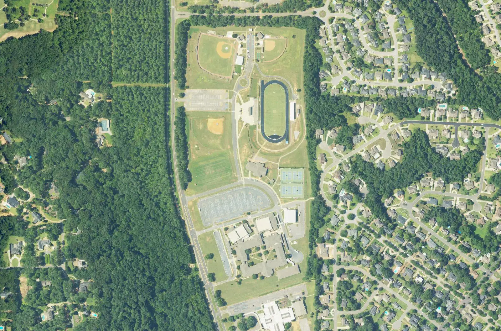
North Tuscaloosa across the river, along Northridge Road and Rice Mine Road, is in ZIP 35406, zoned for Northridge High; typical value $483,661.
Last checked Oct. 17, 2026. Sources: the City of Tuscaloosa’s District 3 specific plan (April 2009), city limits map and parks layer; Tuscaloosa City Schools’ 2026-27 school zone map; the Alabama State Department of Education’s state report card; Zillow Research; and OpenStreetMap.
North Tuscaloosa is the part of the city across the Black Warrior River from downtown, east of Northport, along Rice Mine Road Northeast, Northridge Road and McFarland Boulevard. It is mostly subdivisions built around the Northridge schools, with shopping centers on Rice Mine Road and McFarland Boulevard.
What this means for you
- Zoned high school: Northridge High School (2025 state report card: 84, a B).
- Home value: $483,661 in ZIP 35406 in September 2026, according to the Zillow Home Value Index.
- Nearest interstate exit: I-20/59 Exit 73 (U.S. 82, McFarland Boulevard), about 6.2 miles by road, across the river.
- Who to call: City of Tuscaloosa Planning, 205-248-5100; Tuscaloosa City Schools, 205-759-3700.
Part of our Tuscaloosa neighborhoods guide.
Where it is
The city’s District 3 specific plan places nearly all of that council district north of the Black Warrior River. It lists Indian Hills, Heritage Hills and High Forest north of the river and south of McFarland Boulevard, and Woodridge, Covey Chase and River Dale between Rice Mine Road and McFarland Boulevard. It marks the Tuscaloosa-Northport city limits on McFarland Boulevard as a gateway to the city. (Council district lines have been redrawn since the 2009 plan.)
For this guide we drew the area from the river north to about Rock Quarry Drive, between the Northport city line on the west and a line just east of Rice Mine Road on the east. About 70% of that land is inside Tuscaloosa city limits, where the city provides police, fire and trash service; some edges are unincorporated or in Northport. Check an address on the city’s limits map. The city part is all in ZIP code 35406. The lakes area to the north has its own page.
Schools
Tuscaloosa City Schools’ boundaries follow city limits, and three of its schools are in this area. On its 2026-27 zone map, the points we checked inside city limits, spaced about 500 feet apart, split this way:
| Level | School | Share of area | 2025 score |
|---|---|---|---|
| Elementary | Verner Elementary, 2701 Northridge Road | about 71% | 97 (A) |
| Elementary | Rock Quarry Elementary, 2000 Rock Quarry Drive | about 29%, north and east | 99 (A) |
| Middle | Northridge Middle, 3811 Northridge Road | all | 87 (B) |
| High | Northridge High, 2901 Northridge Road | all | 84 (B) |
Scores are 2025 overall scores, for the 2024-25 school year, on the Alabama State Department of Education’s state report card (choose 2024-2025, Tuscaloosa City and the school). Addresses in Northport or the county are served by the Tuscaloosa County School System. More in our schools guide.
Home values
The typical home value in ZIP 35406 was $483,661 in September 2026, up 1.7% from $475,376 in September 2025, according to the Zillow Home Value Index. That is the highest of the Tuscaloosa ZIP codes in Zillow’s file and about twice the citywide figure of $243,681. The index is a modeled typical value for the middle third of homes, not a sale price, and 35406 also covers the Lake Tuscaloosa area. More in our home prices guide.
Parks and trails
From the city’s parks layer and PARA’s pages:
- Rock Quarry Park, 2200 Rock Quarry Drive, with shelters and the Phelps Activity Center.
- Northridge Park, with the Buddy Powell Pavilion and a trail PARA lists.
- Ol’ Colony Golf Course, with a pro shop and First Tee teaching facility.
- Sokol Park South, 5901 Watermelon Road, Northport, just to the northwest, with ball fields, a bike trail, a pump track, an inclusive playground and the Will May Dog Park.
More in our parks and trails guide.
Getting around
- Interstate: I-20/59 Exit 73 (U.S. 82, McFarland Boulevard), about 6.2 miles by road, and I-359 Exit 1 (35th Street), about 7.5 miles, both across the river.
- Downtown: about 5.5 miles by road to City Hall, 2201 University Blvd.
- Airports: Tuscaloosa National Airport about 7.5 miles, Birmingham-Shuttlesworth International about 65 miles. Distances are on the OpenStreetMap road network, from the middle of the area, measured with the OSRM routing engine, not drive times.
- Buses: we found no Tuscaloosa Transit Authority stops north of the river on TTA’s route pages.
More in our getting around guide.
Groceries and everyday stores
From OpenStreetMap:
- Publix, 4851 Rice Mine Road Northeast.
- Aldi, 10 McFarland Blvd.
- Buddy’s, on Rice Mine Road Northeast.
- CVS Pharmacy and Tuscaloosa Drug Co., near Rice Mine Road.
- Jann’s Pharmacy, on McFarland Boulevard.
How we drew this area
The neighborhoods come from the District 3 plan; the outline is ours, drawn on OpenStreetMap road and river lines. City limits and school shares come from points spaced about 500 feet apart, checked against the city’s limits layer and the district’s 2026-27 zone layer on Oct. 17, 2026. Store and place locations are © OpenStreetMap contributors.
Frequently asked questions
What schools serve north Tuscaloosa near Rice Mine Road?
Every point we checked inside city limits is zoned for Northridge Middle and Northridge High on Tuscaloosa City Schools’ 2026-27 map, with Verner or Rock Quarry elementary. Their 2025 state report card scores were 87, 84, 97 and 99.
What is the typical home value in 35406?
The Zillow Home Value Index for ZIP code 35406 was $483,661 in September 2026, up 1.7% from a year earlier and the highest of Tuscaloosa’s ZIP codes in the Zillow file. It is a modeled typical value, not a sale price.
What neighborhoods are along Rice Mine Road in Tuscaloosa?
The city’s District 3 plan lists Indian Hills, Heritage Hills and High Forest north of the river and south of McFarland Boulevard, and Woodridge, Covey Chase and River Dale between Rice Mine Road and McFarland Boulevard.
Is north Tuscaloosa a good place to live?
Here are the facts. The area north of the river along Rice Mine and Northridge roads holds Northridge High (84 on the 2025 state report card), Northridge Middle and Verner and Rock Quarry elementary schools, Rock Quarry Park and two supermarkets, and the typical home value in 35406 was $483,661 in September 2026.
Have your say